Spar and BP, Ballyhackamore, Belfast (November 2017)
Introduction
The photograph on this page of Spar and BP, Ballyhackamore, Belfast (November 2017) by Albert Bridge as part of the Geograph project.
The Geograph project started in 2005 with the aim of publishing, organising and preserving representative images for every square kilometre of Great Britain, Ireland and the Isle of Man.

There are currently over 7.5m images from over 14,400 individuals and you can help contribute to the project by visiting https://www.geograph.org.uk
Spar and BP, Ballyhackamore, Belfast (November 2017)
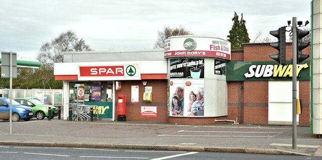
Image: © Albert Bridge Taken: 19 Nov 2017
See Image (April 2010). There is currently the following application for planning permission (5 July 2017) “LA04/2017/1579/F Single storey extension with new entrance Spar 276 Upper Newtownards Road Belfast BT4 3EU”.
Images are licensed for reuse under creativecommons.org/licenses/by-sa/2.0
Image Location
Latitude
54.595606
Longitude
-5.872596