Hoddom Court
Introduction
The photograph on this page of Hoddom Court by Jonathan Thacker as part of the Geograph project.
The Geograph project started in 2005 with the aim of publishing, organising and preserving representative images for every square kilometre of Great Britain, Ireland and the Isle of Man.

There are currently over 7.5m images from over 14,400 individuals and you can help contribute to the project by visiting https://www.geograph.org.uk
Hoddom Court
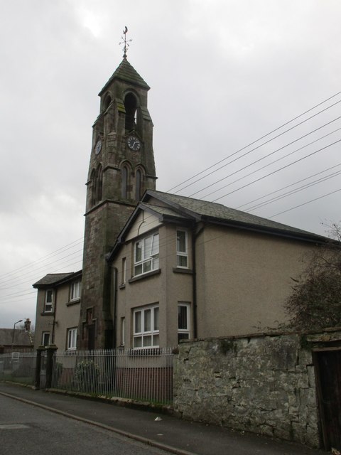
Image: © Jonathan Thacker Taken: 30 Oct 2017
The clock tower dating from 1875 survives from a 19th-century L-plan school and has been retained as a feature within a sheltered housing development of eleven flats built in 1988. The remains of the school are listed Category C.
Images are licensed for reuse under creativecommons.org/licenses/by-sa/2.0
Image Location
Latitude
55.059381
Longitude
-3.265741