Eddington: up Burkitt Lane
Introduction
The photograph on this page of Eddington: up Burkitt Lane by John Sutton as part of the Geograph project.
The Geograph project started in 2005 with the aim of publishing, organising and preserving representative images for every square kilometre of Great Britain, Ireland and the Isle of Man.

There are currently over 7.5m images from over 14,400 individuals and you can help contribute to the project by visiting https://www.geograph.org.uk
Eddington: up Burkitt Lane
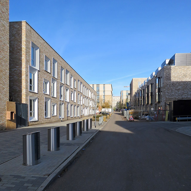
Image: © John Sutton Taken: 19 Nov 2017
Looking towards the incomplete centre of the University's North West Cambridge Development, Eddington, on a fine Sunday morning in November. (Grid references are estimated as mapping has not kept pace with construction.)
Images are licensed for reuse under creativecommons.org/licenses/by-sa/2.0
Image Location
Latitude
52.217317
Longitude
0.086822