Bridleway and Mid Wilts Way
Introduction
The photograph on this page of Bridleway and Mid Wilts Way by Philip Halling as part of the Geograph project.
The Geograph project started in 2005 with the aim of publishing, organising and preserving representative images for every square kilometre of Great Britain, Ireland and the Isle of Man.

There are currently over 7.5m images from over 14,400 individuals and you can help contribute to the project by visiting https://www.geograph.org.uk
Bridleway and Mid Wilts Way
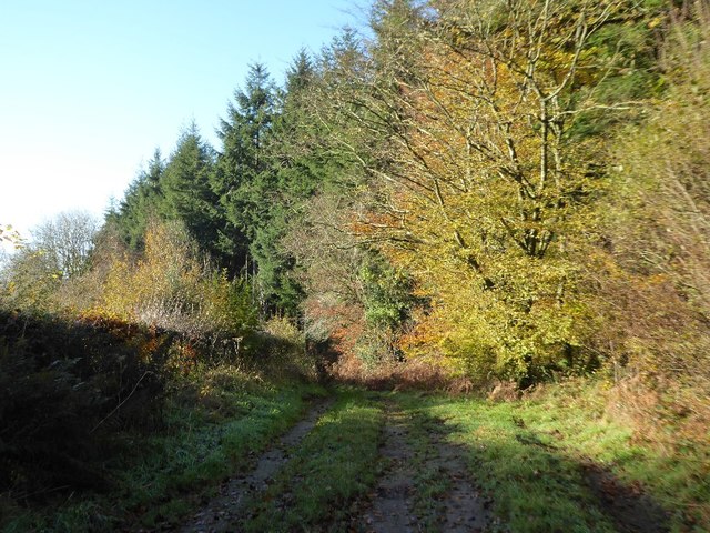
Image: © Philip Halling Taken: 17 Nov 2017
The Mid Wilts Way follows this bridleway leading to the village of Horningsham. The woodland on the right borders the parkland of Longleat House.
Images are licensed for reuse under creativecommons.org/licenses/by-sa/2.0
Image Location
Latitude
51.17733
Longitude
-2.248863