End of the 30 zone at the western edge of Trebanog
Introduction
The photograph on this page of End of the 30 zone at the western edge of Trebanog by Jaggery as part of the Geograph project.
The Geograph project started in 2005 with the aim of publishing, organising and preserving representative images for every square kilometre of Great Britain, Ireland and the Isle of Man.

There are currently over 7.5m images from over 14,400 individuals and you can help contribute to the project by visiting https://www.geograph.org.uk
End of the 30 zone at the western edge of Trebanog
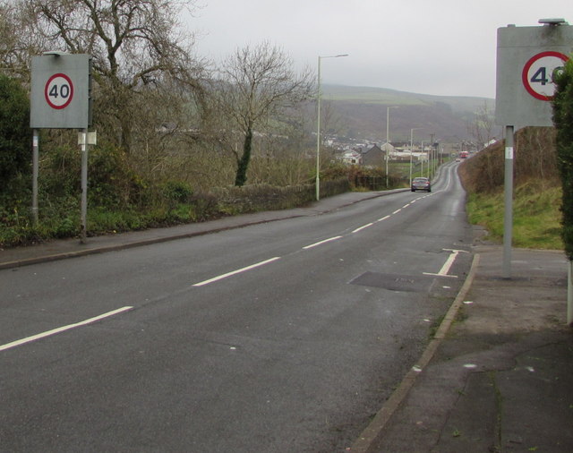
Image: © Jaggery Taken: 16 Nov 2017
The 30mph speed limit on Edmondstown Road in Trebanog increases to 40mph. The eastern edge of Edmondstown is in the distance.
Images are licensed for reuse under creativecommons.org/licenses/by-sa/2.0
Image Location
Latitude
51.601528
Longitude
-3.425186