The road past Pant Cemetery
Introduction
The photograph on this page of The road past Pant Cemetery by HelenK as part of the Geograph project.
The Geograph project started in 2005 with the aim of publishing, organising and preserving representative images for every square kilometre of Great Britain, Ireland and the Isle of Man.

There are currently over 7.5m images from over 14,400 individuals and you can help contribute to the project by visiting https://www.geograph.org.uk
The road past Pant Cemetery
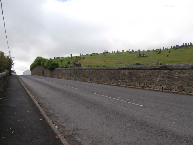
Image: © HelenK Taken: 25 Sep 2017
Crosses and headstones are silhouetted on the skyline. The bus route was deceptive; although there was a bus stop on either side of the road, buses appeared only to travel along the road in one direction (uphill).
Images are licensed for reuse under creativecommons.org/licenses/by-sa/2.0
Image Location
Latitude
51.772667
Longitude
-3.362451