Nearing Exning
Introduction
The photograph on this page of Nearing Exning by John Sutton as part of the Geograph project.
The Geograph project started in 2005 with the aim of publishing, organising and preserving representative images for every square kilometre of Great Britain, Ireland and the Isle of Man.

There are currently over 7.5m images from over 14,400 individuals and you can help contribute to the project by visiting https://www.geograph.org.uk
Nearing Exning
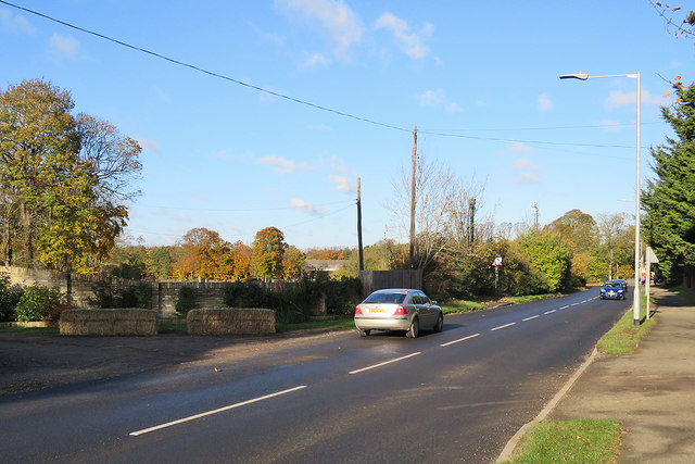
Image: © John Sutton Taken: 12 Nov 2017
The road from Newmarket, the B1103, is about to dip down and pass under the A14 (the bridge shows vaguely among the trees just left of the silver car).
Images are licensed for reuse under creativecommons.org/licenses/by-sa/2.0
Image Location
Latitude
52.261666
Longitude
0.380381