Mary's Well, Illogan
Introduction
The photograph on this page of Mary's Well, Illogan by Philip Halling as part of the Geograph project.
The Geograph project started in 2005 with the aim of publishing, organising and preserving representative images for every square kilometre of Great Britain, Ireland and the Isle of Man.

There are currently over 7.5m images from over 14,400 individuals and you can help contribute to the project by visiting https://www.geograph.org.uk
Mary's Well, Illogan
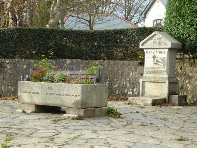
Image: © Philip Halling Taken: 7 Nov 2017
Mary's Well is inscribed with the date 21st June 1888 and was given to the community by Gustavus Lambart Bassetis and named after the wife.
Images are licensed for reuse under creativecommons.org/licenses/by-sa/2.0
Image Location
Latitude
50.247043
Longitude
-5.27665