The wards have gone
Introduction
The photograph on this page of The wards have gone by Neil Owen as part of the Geograph project.
The Geograph project started in 2005 with the aim of publishing, organising and preserving representative images for every square kilometre of Great Britain, Ireland and the Isle of Man.

There are currently over 7.5m images from over 14,400 individuals and you can help contribute to the project by visiting https://www.geograph.org.uk
The wards have gone
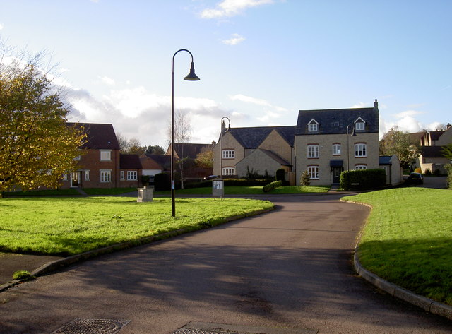
Image: © Neil Owen Taken: 12 Nov 2017
'High Winford' is a modern development of up-market housing on the site of the old hospital. The main blocks of wards used to be beyond the houses here.
Images are licensed for reuse under creativecommons.org/licenses/by-sa/2.0
Image Location


Leaflet Map data © OpenStreetMap
Latitude
51.38781
Longitude
-2.667339