The cleared site of West Bridgend Community Centre
Introduction
The photograph on this page of The cleared site of West Bridgend Community Centre by Lairich Rig as part of the Geograph project.
The Geograph project started in 2005 with the aim of publishing, organising and preserving representative images for every square kilometre of Great Britain, Ireland and the Isle of Man.

There are currently over 7.5m images from over 14,400 individuals and you can help contribute to the project by visiting https://www.geograph.org.uk
The cleared site of West Bridgend Community Centre
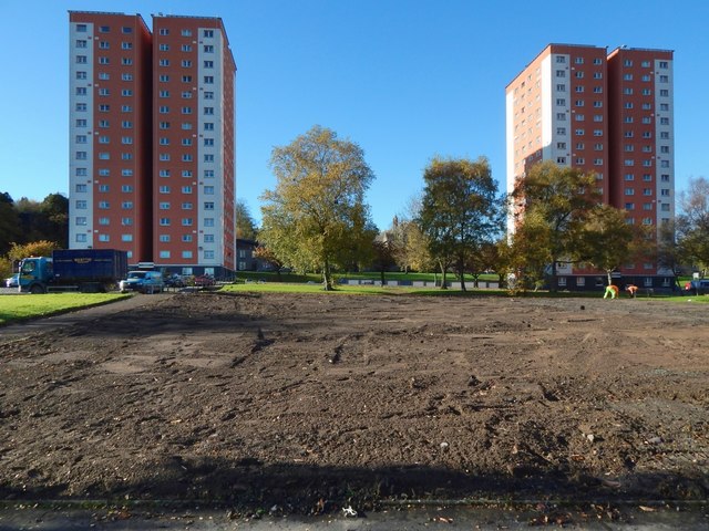
Image: © Lairich Rig Taken: 2 Nov 2017
The Community Centre is shown intact in an earlier picture (Image), and being cleared away in Image and Image, leaving the site as shown here. It was originally intended that a new community centre be built in the same place, but by early 2019 the site was grassed over. There are three high flats at West Bridgend: Image The ones in the present picture are Clyde Court (left) and Lomond Court. Leven Court is out of shot to the right.
Images are licensed for reuse under creativecommons.org/licenses/by-sa/2.0
Image Location
Latitude
55.945542
Longitude
-4.577098