Jew's Wood
Introduction
The photograph on this page of Jew's Wood by Gwyn Jones as part of the Geograph project.
The Geograph project started in 2005 with the aim of publishing, organising and preserving representative images for every square kilometre of Great Britain, Ireland and the Isle of Man.

There are currently over 7.5m images from over 14,400 individuals and you can help contribute to the project by visiting https://www.geograph.org.uk
Jew's Wood
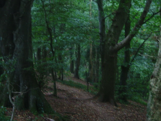
Image: © Gwyn Jones Taken: 21 Sep 2005
On the northern flank of a hill to the south of Elburton, the popular Jew's Wood may be found separating the Staddiscombe housing development from Coombe Dean School, in the valley below.
Images are licensed for reuse under creativecommons.org/licenses/by-sa/2.0
Image Location
Latitude
50.353885
Longitude
-4.074762