Chaldon Down
Introduction
The photograph on this page of Chaldon Down by Andrew Smith as part of the Geograph project.
The Geograph project started in 2005 with the aim of publishing, organising and preserving representative images for every square kilometre of Great Britain, Ireland and the Isle of Man.

There are currently over 7.5m images from over 14,400 individuals and you can help contribute to the project by visiting https://www.geograph.org.uk
Chaldon Down
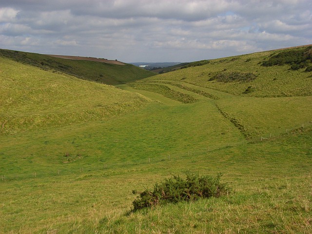
Image: © Andrew Smith Taken: 16 Sep 2007
Looking down they dry valley below Chideock Farm. In the distance you can see a large white building at Winfrith Atomic Energy Establishment.
Images are licensed for reuse under creativecommons.org/licenses/by-sa/2.0
Image Location


Leaflet Map data © OpenStreetMap
Latitude
50.640928
Longitude
-2.289857