Grove Hill Colyton
Introduction
The photograph on this page of Grove Hill Colyton by Nigel Mykura as part of the Geograph project.
The Geograph project started in 2005 with the aim of publishing, organising and preserving representative images for every square kilometre of Great Britain, Ireland and the Isle of Man.

There are currently over 7.5m images from over 14,400 individuals and you can help contribute to the project by visiting https://www.geograph.org.uk
Grove Hill Colyton
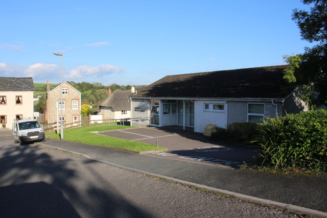
Image: © Nigel Mykura Taken: 7 Oct 2017
Grove Hill is a short residential cul-de-sac lined with small semidetached houses and some maisonettes off South St, the B3161 which can be seen in the background. This building is Colyton Health Centre.
Images are licensed for reuse under creativecommons.org/licenses/by-sa/2.0
Image Location
Latitude
50.738818
Longitude
-3.068622