Llangattock Lingoed boundary sign, Monmouthshire
Introduction
The photograph on this page of Llangattock Lingoed boundary sign, Monmouthshire by Jaggery as part of the Geograph project.
The Geograph project started in 2005 with the aim of publishing, organising and preserving representative images for every square kilometre of Great Britain, Ireland and the Isle of Man.

There are currently over 7.5m images from over 14,400 individuals and you can help contribute to the project by visiting https://www.geograph.org.uk
Llangattock Lingoed boundary sign, Monmouthshire
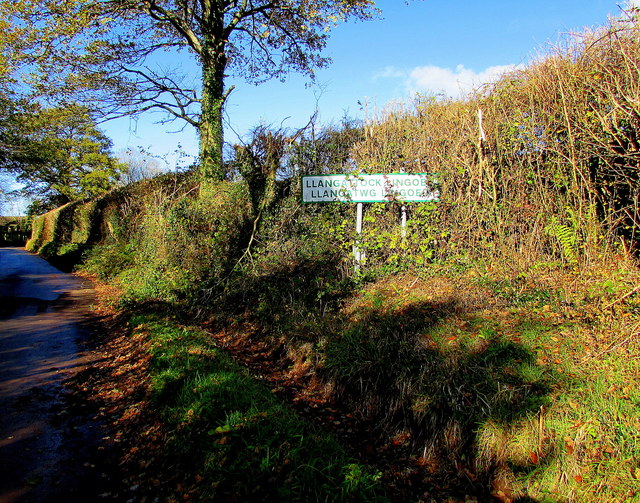
Image: © Jaggery Taken: 5 Nov 2017
Village boundary sign facing the minor road from Caggle Street, a hamlet about 3km away. The sign shows that the Welsh name of the village is Llangatwg Lingoed.
Images are licensed for reuse under creativecommons.org/licenses/by-sa/2.0
Image Location
Latitude
51.876013
Longitude
-2.924252