Llangattock Lingoed this way
Introduction
The photograph on this page of Llangattock Lingoed this way by Jaggery as part of the Geograph project.
The Geograph project started in 2005 with the aim of publishing, organising and preserving representative images for every square kilometre of Great Britain, Ireland and the Isle of Man.

There are currently over 7.5m images from over 14,400 individuals and you can help contribute to the project by visiting https://www.geograph.org.uk
Llangattock Lingoed this way
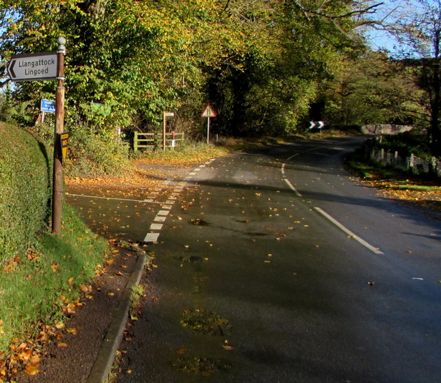
Image: © Jaggery Taken: 5 Nov 2017
In Caggle Street, a hamlet in NE Monmouthshire, the direction sign faces the B4521 Old Ross Road on the corner of the minor road http://www.geograph.org.uk/photo/5591162 to Llangattock Lingoed.
Images are licensed for reuse under creativecommons.org/licenses/by-sa/2.0
Image Location
Latitude
51.854681
Longitude
-2.915684