Approaching Ridd's Farm
Introduction
The photograph on this page of Approaching Ridd's Farm by Tim Heaton as part of the Geograph project.
The Geograph project started in 2005 with the aim of publishing, organising and preserving representative images for every square kilometre of Great Britain, Ireland and the Isle of Man.

There are currently over 7.5m images from over 14,400 individuals and you can help contribute to the project by visiting https://www.geograph.org.uk
Approaching Ridd's Farm
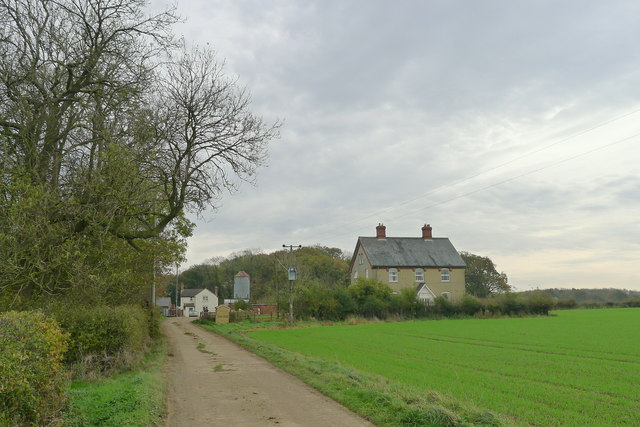
Image: © Tim Heaton Taken: 1 Nov 2017
The OS map shows the house on the right sitting next to the old route of the Roman road Ermine Street.
Images are licensed for reuse under creativecommons.org/licenses/by-sa/2.0
Image Location
Latitude
52.818356
Longitude
-0.610325