Cilcain Village Hall
Introduction
The photograph on this page of Cilcain Village Hall by Jeff Buck as part of the Geograph project.
The Geograph project started in 2005 with the aim of publishing, organising and preserving representative images for every square kilometre of Great Britain, Ireland and the Isle of Man.

There are currently over 7.5m images from over 14,400 individuals and you can help contribute to the project by visiting https://www.geograph.org.uk
Cilcain Village Hall
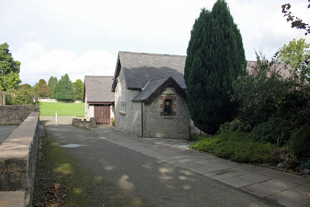
Image: © Jeff Buck Taken: 2 Oct 2017
Cilcain Village Hall was converted from Cilcain’s 1842 Victorian School when its current Primary School, Ysgol y Foel, was built in the 1960’s. It was enlarged in the 1980’s and refurbished in 2012/13. Source: cilcainvillagehall.com
Images are licensed for reuse under creativecommons.org/licenses/by-sa/2.0
Image Location
Latitude
53.177687
Longitude
-3.233594