Houses, The Beach, Walmer
Introduction
The photograph on this page of Houses, The Beach, Walmer by Robin Webster as part of the Geograph project.
The Geograph project started in 2005 with the aim of publishing, organising and preserving representative images for every square kilometre of Great Britain, Ireland and the Isle of Man.

There are currently over 7.5m images from over 14,400 individuals and you can help contribute to the project by visiting https://www.geograph.org.uk
Houses, The Beach, Walmer
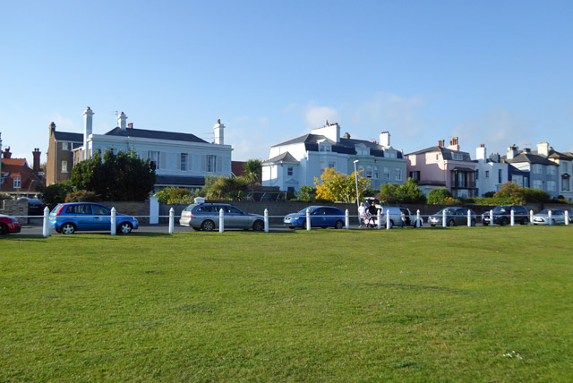
Image: © Robin Webster Taken: 14 Oct 2017
The road called The Beach is actually distanced from the beach by the width of Walmer Green in the foreground. The pink house is grade II listed, early 19th century. The rest are unlisted.
Images are licensed for reuse under creativecommons.org/licenses/by-sa/2.0
Image Location
Latitude
51.210676
Longitude
1.402175