Chestnut Road, Bridport
Introduction
The photograph on this page of Chestnut Road, Bridport by Derek Harper as part of the Geograph project.
The Geograph project started in 2005 with the aim of publishing, organising and preserving representative images for every square kilometre of Great Britain, Ireland and the Isle of Man.

There are currently over 7.5m images from over 14,400 individuals and you can help contribute to the project by visiting https://www.geograph.org.uk
Chestnut Road, Bridport
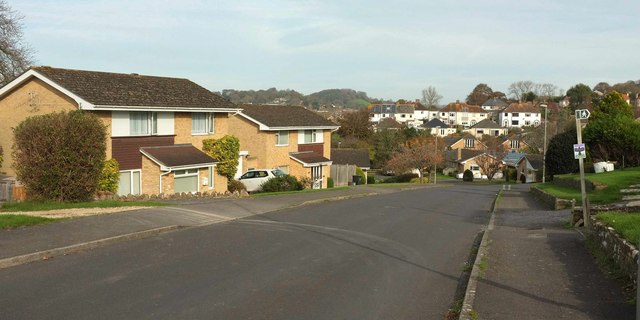
Image: © Derek Harper Taken: 1 Nov 2017
The road shown at the rear of Image], passing the start of footpath W5 18 on the right as it drops to a small side valley of the Brit.
Images are licensed for reuse under creativecommons.org/licenses/by-sa/2.0
Image Location
Latitude
50.72247
Longitude
-2.755873