Eastern end of Redcar Promenade
Introduction
The photograph on this page of Eastern end of Redcar Promenade by Oliver Dixon as part of the Geograph project.
The Geograph project started in 2005 with the aim of publishing, organising and preserving representative images for every square kilometre of Great Britain, Ireland and the Isle of Man.

There are currently over 7.5m images from over 14,400 individuals and you can help contribute to the project by visiting https://www.geograph.org.uk
Eastern end of Redcar Promenade
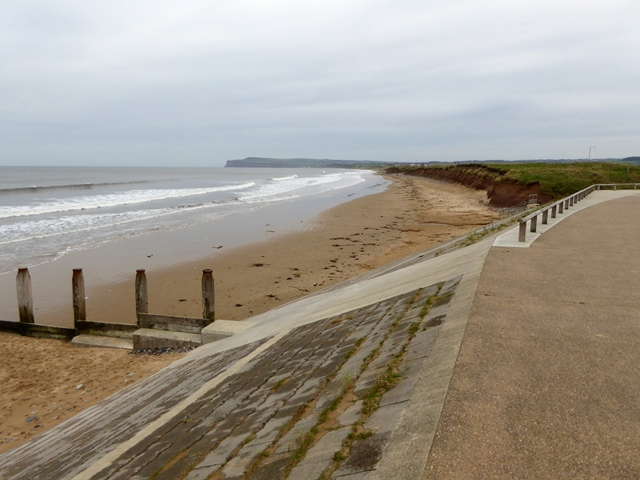
Image: © Oliver Dixon Taken: 1 Nov 2017
At a point where a stream emerges onto the beach. In the distance, the headland formed by Huntcliff and Warsett Hill.
Images are licensed for reuse under creativecommons.org/licenses/by-sa/2.0
Image Location
Latitude
54.607452
Longitude
-1.040722