Bridleway towards Studdal
Introduction
The photograph on this page of Bridleway towards Studdal by Robin Webster as part of the Geograph project.
The Geograph project started in 2005 with the aim of publishing, organising and preserving representative images for every square kilometre of Great Britain, Ireland and the Isle of Man.

There are currently over 7.5m images from over 14,400 individuals and you can help contribute to the project by visiting https://www.geograph.org.uk
Bridleway towards Studdal
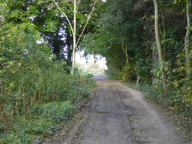
Image: © Robin Webster Taken: 14 Oct 2017
Just about here the track intersects the course of a mapped Roman road, and thereafter the track and then a road follow the route in a slightly distorted fashion.
Images are licensed for reuse under creativecommons.org/licenses/by-sa/2.0
Image Location
Latitude
51.220393
Longitude
1.308067