Field west of Church Road, Betteshanger
Introduction
The photograph on this page of Field west of Church Road, Betteshanger by Robin Webster as part of the Geograph project.
The Geograph project started in 2005 with the aim of publishing, organising and preserving representative images for every square kilometre of Great Britain, Ireland and the Isle of Man.

There are currently over 7.5m images from over 14,400 individuals and you can help contribute to the project by visiting https://www.geograph.org.uk
Field west of Church Road, Betteshanger
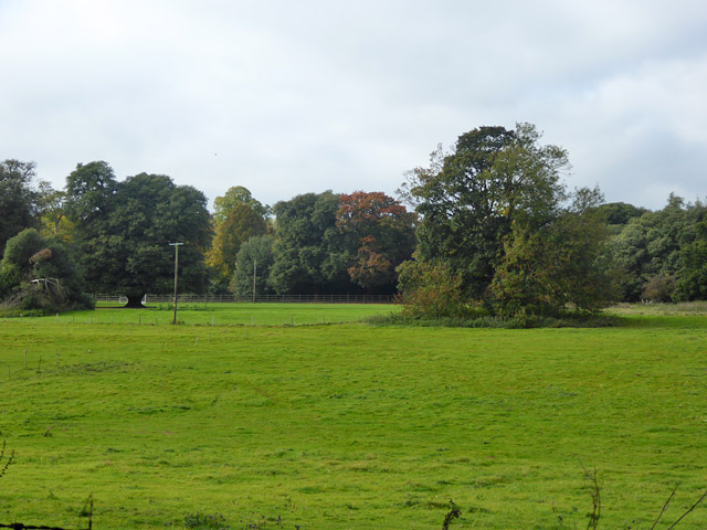
Image: © Robin Webster Taken: 14 Oct 2017
This looks like it was part of the park of Betteshanger House. The house itself is now a school, with at least some of the grounds.
Images are licensed for reuse under creativecommons.org/licenses/by-sa/2.0
Image Location
Latitude
51.226303
Longitude
1.312215