Dorking Road
Introduction
The photograph on this page of Dorking Road by Ian Capper as part of the Geograph project.
The Geograph project started in 2005 with the aim of publishing, organising and preserving representative images for every square kilometre of Great Britain, Ireland and the Isle of Man.

There are currently over 7.5m images from over 14,400 individuals and you can help contribute to the project by visiting https://www.geograph.org.uk
Dorking Road
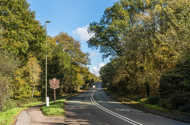
Image: © Ian Capper Taken: 27 Oct 2017
The A24 at the point where is leaves Ashtead (as Epsom Road) and enters Epsom (as Dorking Road). On the left, below the sign for the Borough of Epsom And Ewell, is a Coal Tax Post (no 122 on the list linked to below). For a close up of the post, see Image
Images are licensed for reuse under creativecommons.org/licenses/by-sa/2.0
Image Location
Latitude
51.321135
Longitude
-0.287661