Road to Aughertree
Introduction
The photograph on this page of Road to Aughertree by Andrew Curtis as part of the Geograph project.
The Geograph project started in 2005 with the aim of publishing, organising and preserving representative images for every square kilometre of Great Britain, Ireland and the Isle of Man.

There are currently over 7.5m images from over 14,400 individuals and you can help contribute to the project by visiting https://www.geograph.org.uk
Road to Aughertree
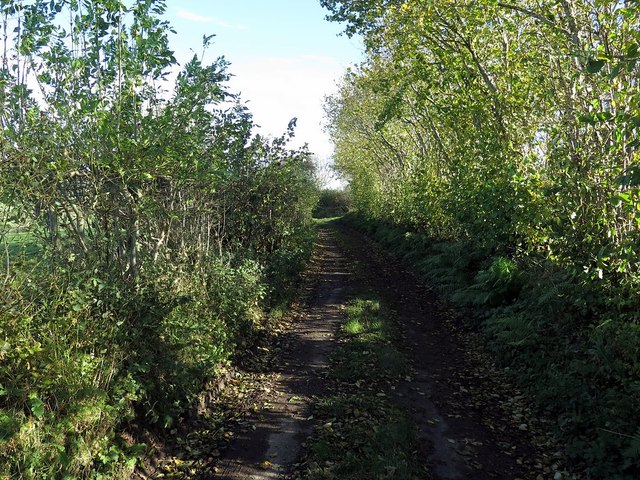
Image: © Andrew Curtis Taken: 29 Oct 2017
Shown as a yellow (minor) road on the Ordnance Survey map this narrow lane from Uldale to Aughertree is unsuitable for many vehicles and probably little used by locals.
Images are licensed for reuse under creativecommons.org/licenses/by-sa/2.0
Image Location
Latitude
54.733648
Longitude
-3.162224