The Clwydian Way approaching Cilcain
Introduction
The photograph on this page of The Clwydian Way approaching Cilcain by Jeff Buck as part of the Geograph project.
The Geograph project started in 2005 with the aim of publishing, organising and preserving representative images for every square kilometre of Great Britain, Ireland and the Isle of Man.

There are currently over 7.5m images from over 14,400 individuals and you can help contribute to the project by visiting https://www.geograph.org.uk
The Clwydian Way approaching Cilcain
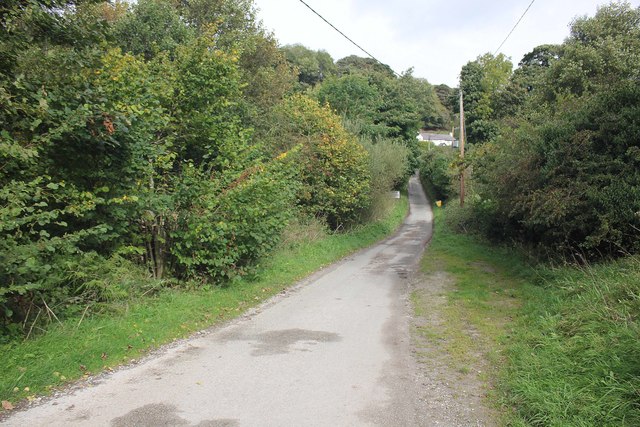
Image: © Jeff Buck Taken: 2 Oct 2017
The Clwydian Way heading north towards Cilcain at Pentre. Wikipedia https://en.wikipedia.org/wiki/Clwydian_Way
Images are licensed for reuse under creativecommons.org/licenses/by-sa/2.0
Image Location
Latitude
53.173843
Longitude
-3.240216