West Lane to West Layton
Introduction
The photograph on this page of West Lane to West Layton by Gordon Hatton as part of the Geograph project.
The Geograph project started in 2005 with the aim of publishing, organising and preserving representative images for every square kilometre of Great Britain, Ireland and the Isle of Man.

There are currently over 7.5m images from over 14,400 individuals and you can help contribute to the project by visiting https://www.geograph.org.uk
West Lane to West Layton
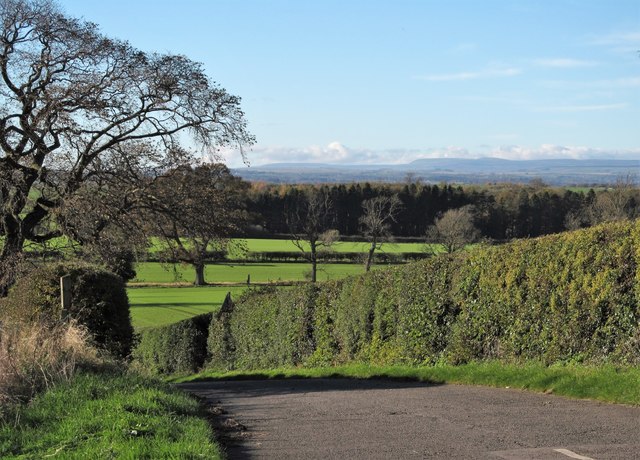
Image: © Gordon Hatton Taken: 27 Oct 2017
Looking west from the western end of East Layton village, which stands on a breezy hilltop and with views in all directions. The view westwards is towards Stainmoor and the northern Pennines. The fell on the horizon could be Mickle Fell.
Images are licensed for reuse under creativecommons.org/licenses/by-sa/2.0
Image Location
Latitude
54.485821
Longitude
-1.757475