Ash Vale station and bridge
Introduction
The photograph on this page of Ash Vale station and bridge by Ron Strutt as part of the Geograph project.
The Geograph project started in 2005 with the aim of publishing, organising and preserving representative images for every square kilometre of Great Britain, Ireland and the Isle of Man.

There are currently over 7.5m images from over 14,400 individuals and you can help contribute to the project by visiting https://www.geograph.org.uk
Ash Vale station and bridge
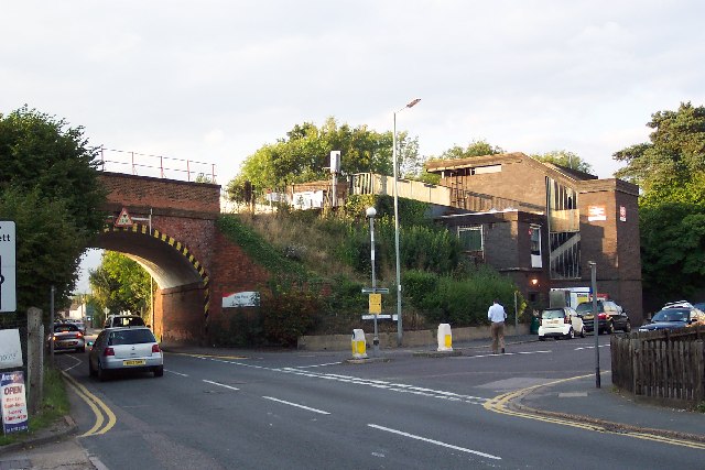
Image: © Ron Strutt Taken: 20 Sep 2005
The railway from Woking to Alton via Aldershot crosses the Ash to Frimley road on a high embankment, just by Ash Vale station. The station structure - comprising mostly a staircase leading to the platforms - is a less than elegant structure.
Images are licensed for reuse under creativecommons.org/licenses/by-sa/2.0
Image Location
Latitude
51.271879
Longitude
-0.722705