Public footpath east of Watnall
Introduction
The photograph on this page of Public footpath east of Watnall by Richard Vince as part of the Geograph project.
The Geograph project started in 2005 with the aim of publishing, organising and preserving representative images for every square kilometre of Great Britain, Ireland and the Isle of Man.

There are currently over 7.5m images from over 14,400 individuals and you can help contribute to the project by visiting https://www.geograph.org.uk
Public footpath east of Watnall
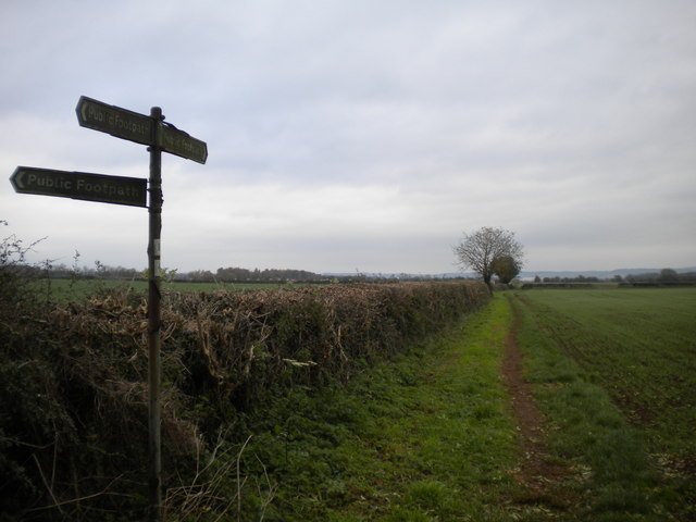
Image: © Richard Vince Taken: 28 Oct 2017
Part of the Robin Hood Way. The sign indicates the presence of a junction, with a further path heading north west from this point.
Images are licensed for reuse under creativecommons.org/licenses/by-sa/2.0
Image Location
Latitude
53.009312
Longitude
-1.251197