Old road from Robieston to Tulliford
Introduction
The photograph on this page of Old road from Robieston to Tulliford by Alan O'Dowd as part of the Geograph project.
The Geograph project started in 2005 with the aim of publishing, organising and preserving representative images for every square kilometre of Great Britain, Ireland and the Isle of Man.

There are currently over 7.5m images from over 14,400 individuals and you can help contribute to the project by visiting https://www.geograph.org.uk
Old road from Robieston to Tulliford
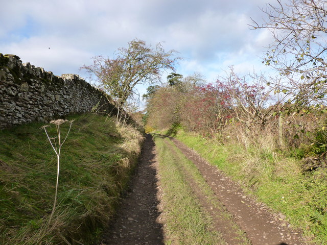
Image: © Alan O'Dowd Taken: 27 Oct 2017
This track leads down to the site of an old ford across the River Clyde, but is threatened by the controversial proposal to extend neighbouring Hyndford Quarry closer to the World Heritage Site at New Lanark.
Images are licensed for reuse under creativecommons.org/licenses/by-sa/2.0
Image Location
Latitude
55.653113
Longitude
-3.760999