Lordship Lane, Dulwich
Introduction
The photograph on this page of Lordship Lane, Dulwich by Paul Harrop as part of the Geograph project.
The Geograph project started in 2005 with the aim of publishing, organising and preserving representative images for every square kilometre of Great Britain, Ireland and the Isle of Man.

There are currently over 7.5m images from over 14,400 individuals and you can help contribute to the project by visiting https://www.geograph.org.uk
Lordship Lane, Dulwich
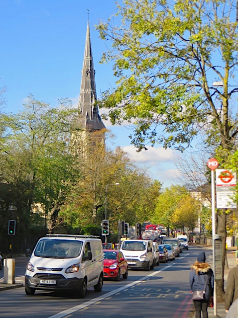
Image: © Paul Harrop Taken: 27 Oct 2017
The road here forms part of the A205 South Circular Road; the spire of St Peter's Church is visible on the left.
Images are licensed for reuse under creativecommons.org/licenses/by-sa/2.0
Image Location
Latitude
51.442009
Longitude
-0.065992