Nineteenth-century benchmark
Introduction
The photograph on this page of Nineteenth-century benchmark by Shantavira as part of the Geograph project.
The Geograph project started in 2005 with the aim of publishing, organising and preserving representative images for every square kilometre of Great Britain, Ireland and the Isle of Man.

There are currently over 7.5m images from over 14,400 individuals and you can help contribute to the project by visiting https://www.geograph.org.uk
Nineteenth-century benchmark
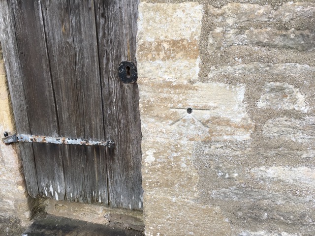
Image: © Shantavira Taken: 28 Oct 2017
This benchmark was established between 1850 and 1856 during the First primary levelling of England & Wales, and was levelled with a height of 356.2100 feet [108.5728 metres] above mean sea level (Liverpool datum). It was included as a side level on the Basingstoke to Coventry levelling line. The surveyor's description was "No. 132(b). Wootton Church. Bolt on South side of tower; 3.22 ft. above surface" (Public Abstract p. 238).
Images are licensed for reuse under creativecommons.org/licenses/by-sa/2.0
Image Location
Latitude
51.875679
Longitude
-1.363861