North end of St Mary's Street, Wallingford
Introduction
The photograph on this page of North end of St Mary's Street, Wallingford by Christopher Hilton as part of the Geograph project.
The Geograph project started in 2005 with the aim of publishing, organising and preserving representative images for every square kilometre of Great Britain, Ireland and the Isle of Man.

There are currently over 7.5m images from over 14,400 individuals and you can help contribute to the project by visiting https://www.geograph.org.uk
North end of St Mary's Street, Wallingford
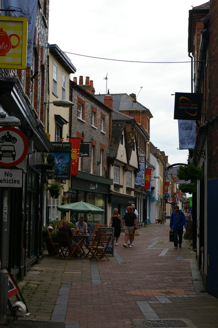
Image: © Christopher Hilton Taken: 28 May 2017
The buildings on the right separate St Mary's Street from St Martin's Street, both of which run parallel southwards from here, occasionally separated by buildings and occasionally by open spaces: it seems clear that the surviving Market Place, halfway along the twin streets, was once a much longer north-south marketplace which has been turned into two parallel streets by permanent buildings replacing market stalls and encroaching on the open space, a common scenario.
Images are licensed for reuse under creativecommons.org/licenses/by-sa/2.0
Image Location
Latitude
51.600805
Longitude
-1.124422