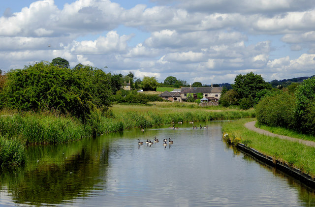
Caldon Canal north of Milton, Stoke-on-Trent
Introduction
The photograph on this page of Caldon Canal north of Milton, Stoke-on-Trent by Roger D Kidd as part of the Geograph project.
The Geograph project started in 2005 with the aim of publishing, organising and preserving representative images for every square kilometre of Great Britain, Ireland and the Isle of Man.
There are currently over 7.5m images from over 14,400 individuals and you can help contribute to the project by visiting https://www.geograph.org.uk

Image: © Roger D Kidd Taken: 31 Jul 2015
The Caldon Branch of the Trent and Mersey Canal was created, and opened in 1779, specifically as a transport facility for the limestone quarries at Cauldon, near Froghall. In 1797 a secondary branch was built from Hazlehurst Locks to Leek. By 1811 a further extension from Froghall led to Uttoxeter, a further 13 miles, but only lasted until 1845. By 1849 a railway had been built, some of the track using the former canal bed. Due mainly to railways taking most of the trade, the canal became little used and almost unnavigable by the early 1960s. The canal was reopened in 1974 following enormous amounts of work instigated by the Caldon Canal Society, its volunteers, and the British Waterways Board. The current seventeen miles from Etruria to Froghall are a particularly attractive canal for cruising, despite the seventeen locks.

