River Rom in Collier Row
Introduction
The photograph on this page of River Rom in Collier Row by Nigel Cox as part of the Geograph project.
The Geograph project started in 2005 with the aim of publishing, organising and preserving representative images for every square kilometre of Great Britain, Ireland and the Isle of Man.

There are currently over 7.5m images from over 14,400 individuals and you can help contribute to the project by visiting https://www.geograph.org.uk
River Rom in Collier Row
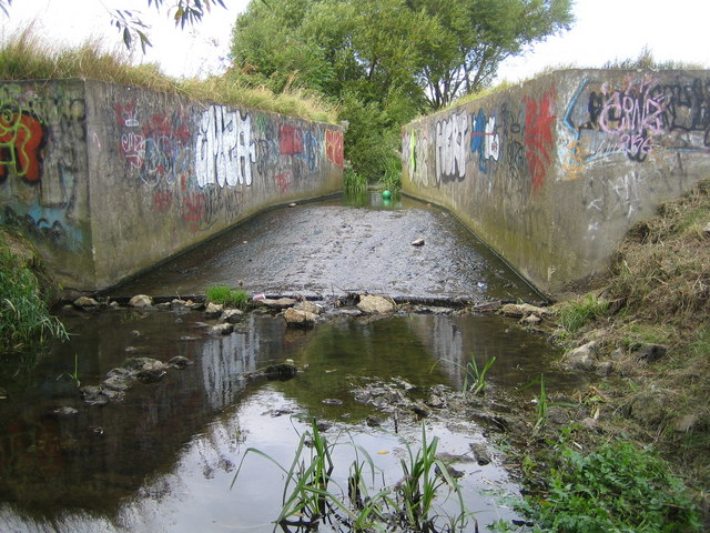
Image: © Nigel Cox Taken: 2 Sep 2007
This concrete structure in the river is a flume with a narrower section at its upstream end, designed to constrict the flow of water in a flood event. When a flood occurs water backs up behind the constriction and overtops a low section of bank further upstream, flowing into a large flood storage hollow set aside for that purpose next to the river. The flood water is then let down in manageable quantities through residential areas downstream.
Images are licensed for reuse under creativecommons.org/licenses/by-sa/2.0
Image Location
Latitude
51.589976
Longitude
0.153805