Towards Pen-y-Rhiw Bridge, Monmouthshire & Brecon Canal
Introduction
The photograph on this page of Towards Pen-y-Rhiw Bridge, Monmouthshire & Brecon Canal by M J Roscoe as part of the Geograph project.
The Geograph project started in 2005 with the aim of publishing, organising and preserving representative images for every square kilometre of Great Britain, Ireland and the Isle of Man.

There are currently over 7.5m images from over 14,400 individuals and you can help contribute to the project by visiting https://www.geograph.org.uk
Towards Pen-y-Rhiw Bridge, Monmouthshire & Brecon Canal
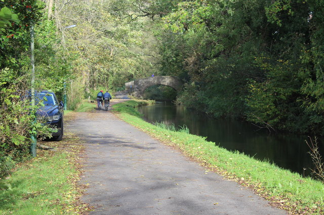
Image: © M J Roscoe Taken: 20 Oct 2017
Looking north on the former towpath (cycle lane) of the canal's disused Crumlin Arm to the grade II listed bridge.
Images are licensed for reuse under creativecommons.org/licenses/by-sa/2.0
Image Location


Leaflet Map data © OpenStreetMap
Latitude
51.61241
Longitude
-3.098837