Cakebread's Lane
Introduction
The photograph on this page of Cakebread's Lane by Keith Evans as part of the Geograph project.
The Geograph project started in 2005 with the aim of publishing, organising and preserving representative images for every square kilometre of Great Britain, Ireland and the Isle of Man.

There are currently over 7.5m images from over 14,400 individuals and you can help contribute to the project by visiting https://www.geograph.org.uk
Cakebread's Lane
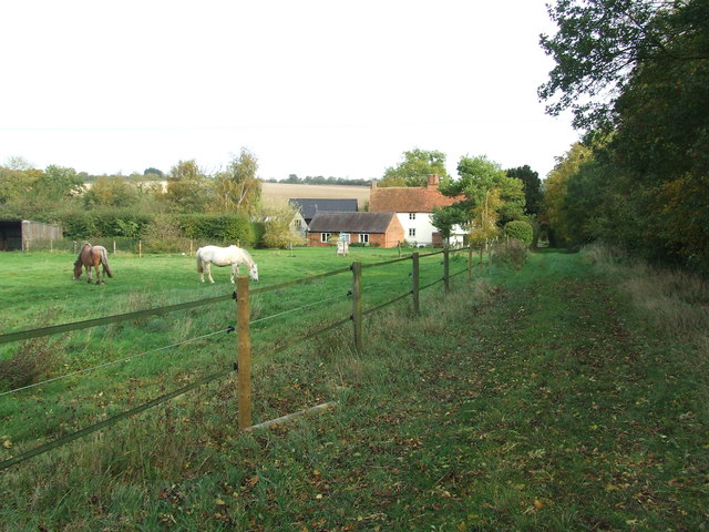
Image: © Keith Evans Taken: 17 Oct 2017
Looking north east along a bridleway marked on the map as Cakebread's Lane near to Ford End, Essex.
Images are licensed for reuse under creativecommons.org/licenses/by-sa/2.0
Image Location


Leaflet Map data © OpenStreetMap
Latitude
51.967088
Longitude
0.110989