West side of Tylacelyn Road, Penygraig
Introduction
The photograph on this page of West side of Tylacelyn Road, Penygraig by Jaggery as part of the Geograph project.
The Geograph project started in 2005 with the aim of publishing, organising and preserving representative images for every square kilometre of Great Britain, Ireland and the Isle of Man.

There are currently over 7.5m images from over 14,400 individuals and you can help contribute to the project by visiting https://www.geograph.org.uk
West side of Tylacelyn Road, Penygraig
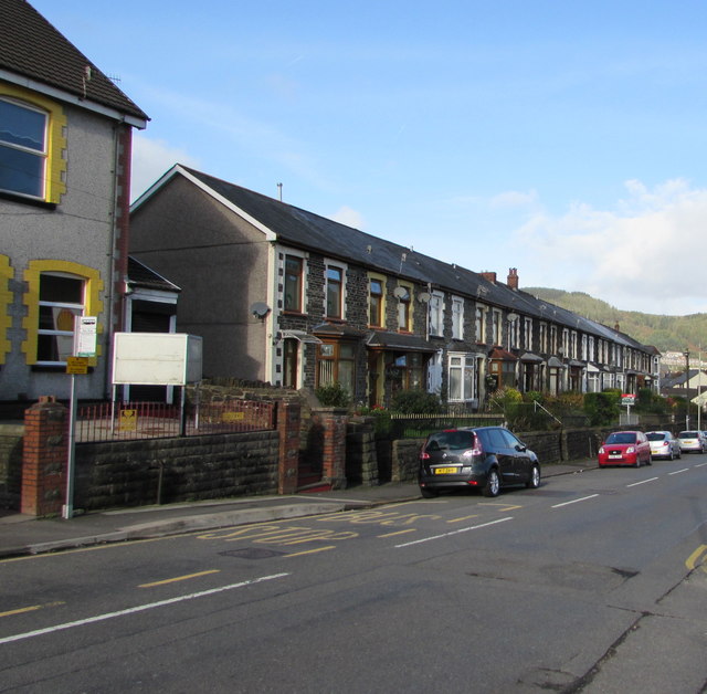
Image: © Jaggery Taken: 17 Oct 2017
Long row of houses extending for 75 metres to the corner of Hughes Street. Penygraig RFC clubhouse http://www.geograph.org.uk/photo/5576993 is on the left.
Images are licensed for reuse under creativecommons.org/licenses/by-sa/2.0
Image Location


Leaflet Map data © OpenStreetMap
Latitude
51.618219
Longitude
-3.449976