Rustat Avenue to Rustat Road
Introduction
The photograph on this page of Rustat Avenue to Rustat Road by John Sutton as part of the Geograph project.
The Geograph project started in 2005 with the aim of publishing, organising and preserving representative images for every square kilometre of Great Britain, Ireland and the Isle of Man.

There are currently over 7.5m images from over 14,400 individuals and you can help contribute to the project by visiting https://www.geograph.org.uk
Rustat Avenue to Rustat Road
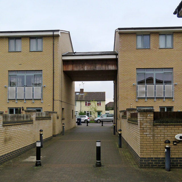
Image: © John Sutton Taken: 23 Oct 2017
A housing development on a brownfield site east of Cambridge railway station. Post-war council houses line the north end of Rustat Road.
Images are licensed for reuse under creativecommons.org/licenses/by-sa/2.0
Image Location
Latitude
52.194577
Longitude
0.141505