Cycle and pedestrian path
Introduction
The photograph on this page of Cycle and pedestrian path by Alec MacKinnon as part of the Geograph project.
The Geograph project started in 2005 with the aim of publishing, organising and preserving representative images for every square kilometre of Great Britain, Ireland and the Isle of Man.

There are currently over 7.5m images from over 14,400 individuals and you can help contribute to the project by visiting https://www.geograph.org.uk
Cycle and pedestrian path
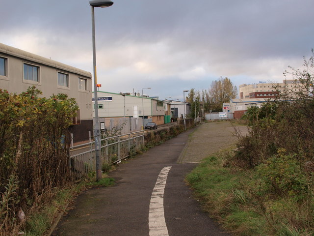
Image: © Alec MacKinnon Taken: 22 Oct 2017
This path lets pedestrians make their way to and from Shields Road and the subway station, without having to negotiate the big roundabout underneath the M8 motorway.
Images are licensed for reuse under creativecommons.org/licenses/by-sa/2.0
Image Location
Latitude
55.851341
Longitude
-4.276711