Ermine Road/Gresford Avenue junction
Introduction
The photograph on this page of Ermine Road/Gresford Avenue junction by John S Turner as part of the Geograph project.
The Geograph project started in 2005 with the aim of publishing, organising and preserving representative images for every square kilometre of Great Britain, Ireland and the Isle of Man.

There are currently over 7.5m images from over 14,400 individuals and you can help contribute to the project by visiting https://www.geograph.org.uk
Ermine Road/Gresford Avenue junction
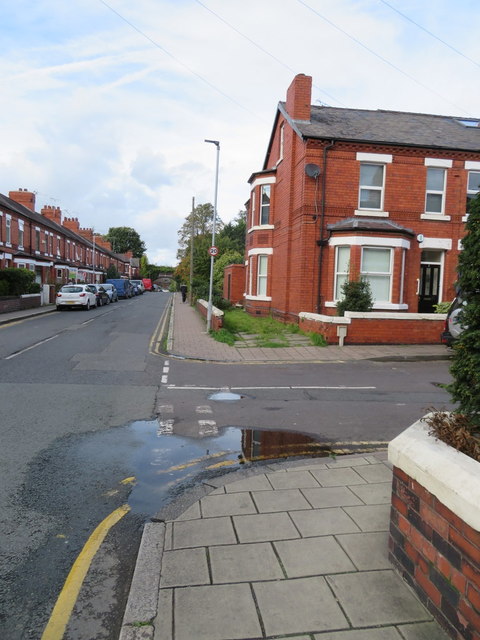
Image: © John S Turner Taken: 10 Oct 2017
Looking along Ermine Road where it crosses Gresford Avenue. There is an Ordnance Survey bench mark on the white parapet on the right, which is actually the side wall of #10 Gresford Avenue - Image
Images are licensed for reuse under creativecommons.org/licenses/by-sa/2.0
Image Location
Latitude
53.200759
Longitude
-2.882895