Road junction on the B6309 at Leadgate
Introduction
The photograph on this page of Road junction on the B6309 at Leadgate by Robert Graham as part of the Geograph project.
The Geograph project started in 2005 with the aim of publishing, organising and preserving representative images for every square kilometre of Great Britain, Ireland and the Isle of Man.

There are currently over 7.5m images from over 14,400 individuals and you can help contribute to the project by visiting https://www.geograph.org.uk
Road junction on the B6309 at Leadgate
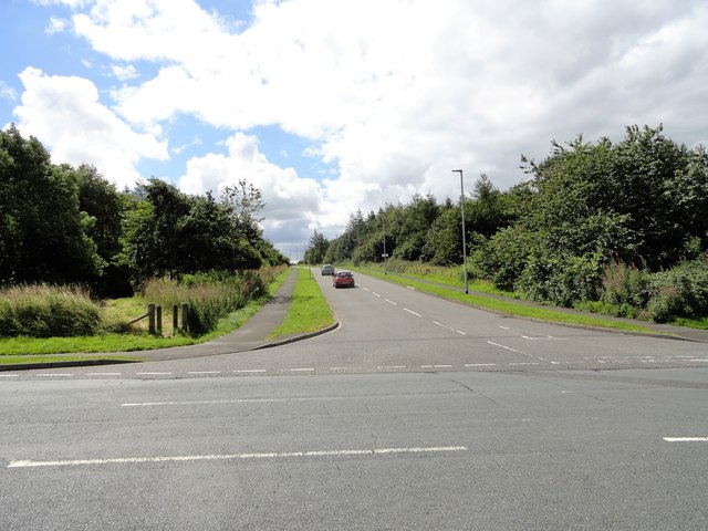
Image: © Robert Graham Taken: 9 Aug 2017
This road branching off to the west leads to the local industrial estates. The main road is the old Roman road of Dere Street, now the B6309.
Images are licensed for reuse under creativecommons.org/licenses/by-sa/2.0
Image Location
Latitude
54.863086
Longitude
-1.810837