Sheep pasturage on the north side of the A25 (Castlewellan Road)
Introduction
The photograph on this page of Sheep pasturage on the north side of the A25 (Castlewellan Road) by Eric Jones as part of the Geograph project.
The Geograph project started in 2005 with the aim of publishing, organising and preserving representative images for every square kilometre of Great Britain, Ireland and the Isle of Man.

There are currently over 7.5m images from over 14,400 individuals and you can help contribute to the project by visiting https://www.geograph.org.uk
Sheep pasturage on the north side of the A25 (Castlewellan Road)
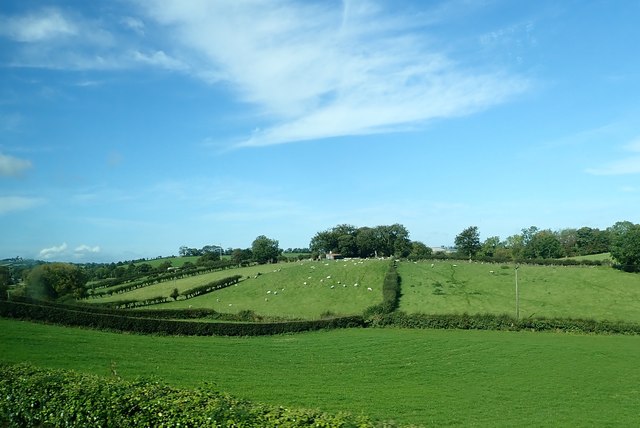
Image: © Eric Jones Taken: 25 Sep 2017
This is an area of well formed drumlins in the Upper Bann Valley.
Images are licensed for reuse under creativecommons.org/licenses/by-sa/2.0
Image Location
Latitude
54.231999
Longitude
-6.100245