The road to Nosterfield End
Introduction
The photograph on this page of The road to Nosterfield End by Keith Edkins as part of the Geograph project.
The Geograph project started in 2005 with the aim of publishing, organising and preserving representative images for every square kilometre of Great Britain, Ireland and the Isle of Man.

There are currently over 7.5m images from over 14,400 individuals and you can help contribute to the project by visiting https://www.geograph.org.uk
The road to Nosterfield End
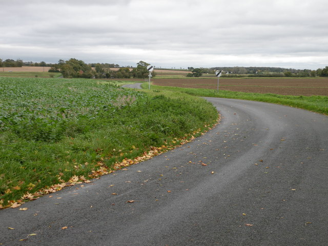
Image: © Keith Edkins Taken: 20 Oct 2017
Heading east out of Shudy Camps village
Images are licensed for reuse under creativecommons.org/licenses/by-sa/2.0
Image Location


Leaflet Map data © OpenStreetMap
Latitude
52.074864
Longitude
0.368532