The Gamecock
Introduction
The photograph on this page of The Gamecock by Gerald England as part of the Geograph project.
The Geograph project started in 2005 with the aim of publishing, organising and preserving representative images for every square kilometre of Great Britain, Ireland and the Isle of Man.

There are currently over 7.5m images from over 14,400 individuals and you can help contribute to the project by visiting https://www.geograph.org.uk
The Gamecock
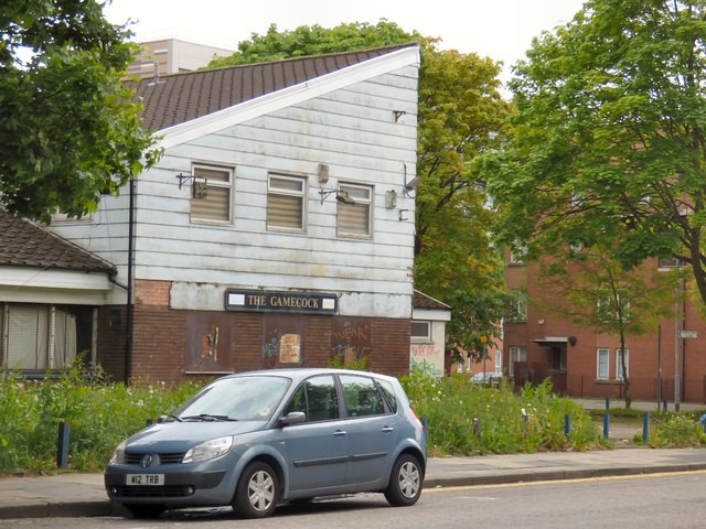
Image: © Gerald England Taken: 13 May 2017
The pub opened in 1974 as a Wilson's House but soon changed to Watney's. It stands in the shadow of some of Hulme's surviving flats on the corner of Boundary Lane and Booth Street West. Having stood empty for a long time it seemed quite likely to be demolished to make room for yet more student accommodation. http://pubs-of-manchester.blogspot.co.uk/2011/06/gamecock-boundary-lane.html In 1993 it was a Belhaven Brewery tied house. http://www.closedpubs.co.uk/lancashire/manchester_m15_gamecock.html but by the time of its closure it was Tetley's house. http://manchesterhistory.net/manchester/pubs/gamecock.html An application for student accommodation on the site was turned down in 2012 on the grounds that the development would be out of scale with the two-storey residential houses nearby, would block out sunlight and there was also a lack of adequate parking. http://www.manchestereveningnews.co.uk/news/greater-manchester-news/application-to-build-giant-block-of-students-693402
Images are licensed for reuse under creativecommons.org/licenses/by-sa/2.0
Image Location
Latitude
53.466707
Longitude
-2.240523