The Joiners Arms, Newton Arlosh - October 2017 (1)
Introduction
The photograph on this page of The Joiners Arms, Newton Arlosh - October 2017 (1) by The Carlisle Kid as part of the Geograph project.
The Geograph project started in 2005 with the aim of publishing, organising and preserving representative images for every square kilometre of Great Britain, Ireland and the Isle of Man.

There are currently over 7.5m images from over 14,400 individuals and you can help contribute to the project by visiting https://www.geograph.org.uk
The Joiners Arms, Newton Arlosh - October 2017 (1)
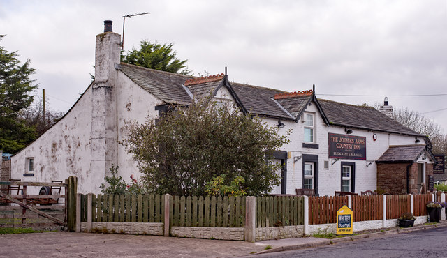
Image: © The Carlisle Kid Taken: 20 Oct 2017
Appears on the 1866 OS Map so is at least mid-19th Century. The Joiners Arms became part of the State Management Scheme on an as yet undiscovered date, but State records show it sold to the private sector in 1973 for £7,000. Still trading. See also: Image] . Photograph is for record only - I have no connection with this business and cannot advise on its products or services.
Images are licensed for reuse under creativecommons.org/licenses/by-sa/2.0
Image Location
Latitude
54.886511
Longitude
-3.244568