Proposed building site
Introduction
The photograph on this page of Proposed building site by John Baker as part of the Geograph project.
The Geograph project started in 2005 with the aim of publishing, organising and preserving representative images for every square kilometre of Great Britain, Ireland and the Isle of Man.

There are currently over 7.5m images from over 14,400 individuals and you can help contribute to the project by visiting https://www.geograph.org.uk
Proposed building site
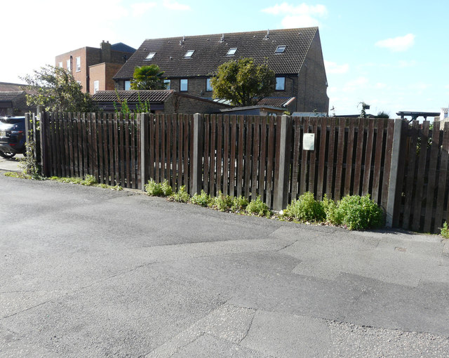
Image: © John Baker Taken: 3 Oct 2017
Planning permission has been registered by Swale Borough Council under application number 18/503267/FULL for the “erection of building consisting of 2 one bedroom flats” on land to the rear of 3, High Street. The fence can also be seen in this view of Image
Images are licensed for reuse under creativecommons.org/licenses/by-sa/2.0
Image Location
Latitude
51.416559
Longitude
0.740948