Crick By-Pass
Introduction
The photograph on this page of Crick By-Pass by Stephen McKay as part of the Geograph project.
The Geograph project started in 2005 with the aim of publishing, organising and preserving representative images for every square kilometre of Great Britain, Ireland and the Isle of Man.

There are currently over 7.5m images from over 14,400 individuals and you can help contribute to the project by visiting https://www.geograph.org.uk
Crick By-Pass
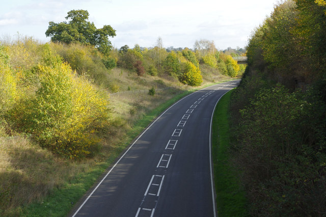
Image: © Stephen McKay Taken: 17 Oct 2017
The A428 has by-passed Crick village since the 1990s. This view might give the impression it is not well used.
Images are licensed for reuse under creativecommons.org/licenses/by-sa/2.0
Image Location
Latitude
52.351103
Longitude
-1.136691