The Slade Greens in Eyres Monsell
Introduction
The photograph on this page of The Slade Greens in Eyres Monsell by Mat Fascione as part of the Geograph project.
The Geograph project started in 2005 with the aim of publishing, organising and preserving representative images for every square kilometre of Great Britain, Ireland and the Isle of Man.

There are currently over 7.5m images from over 14,400 individuals and you can help contribute to the project by visiting https://www.geograph.org.uk
The Slade Greens in Eyres Monsell
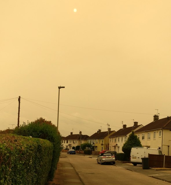
Image: © Mat Fascione Taken: 16 Oct 2017
The reddish sky was caused by the remnants of Hurricane Ophelia dragging in tropical air and dust from the Sahara, debris from forest fires in Portugal and Spain was also playing a part. The dust has caused shorter wavelength blue light to be scattered, making it appear red.
Images are licensed for reuse under creativecommons.org/licenses/by-sa/2.0
Image Location
Latitude
52.594333
Longitude
-1.155392