Dockyard Terrace, Sheerness
Introduction
The photograph on this page of Dockyard Terrace, Sheerness by pam fray as part of the Geograph project.
The Geograph project started in 2005 with the aim of publishing, organising and preserving representative images for every square kilometre of Great Britain, Ireland and the Isle of Man.

There are currently over 7.5m images from over 14,400 individuals and you can help contribute to the project by visiting https://www.geograph.org.uk
Dockyard Terrace, Sheerness
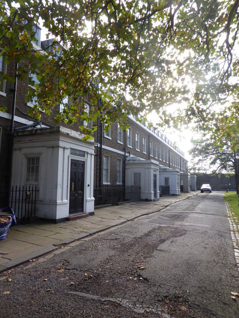
Image: © pam fray Taken: 14 Oct 2017
A row of Georgian properties, some still undergoing restoration, to the south of Church Road and west of the former Royal Dockyard Church.
Images are licensed for reuse under creativecommons.org/licenses/by-sa/2.0
Image Location
Latitude
51.442835
Longitude
0.751876