Albert Road Reading
Introduction
The photograph on this page of Albert Road Reading by norman griffin as part of the Geograph project.
The Geograph project started in 2005 with the aim of publishing, organising and preserving representative images for every square kilometre of Great Britain, Ireland and the Isle of Man.

There are currently over 7.5m images from over 14,400 individuals and you can help contribute to the project by visiting https://www.geograph.org.uk
Albert Road Reading
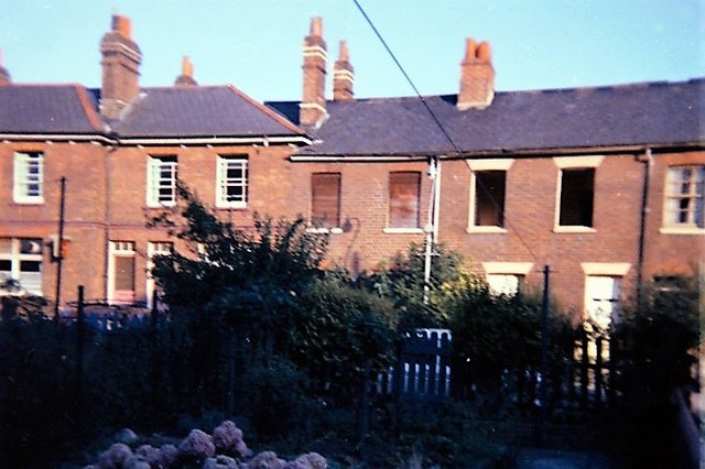
Image: © norman griffin Taken: 1 Aug 1977
The Anglers Arms and emptying houses opposite 61 Albert Road as Newtown residents are starting to be rehoused.
Images are licensed for reuse under creativecommons.org/licenses/by-sa/2.0
Image Location
Latitude
51.456245
Longitude
-0.952173